A publication for a Roberto Feijoo’s photo project Berlin Alexanderplatz.
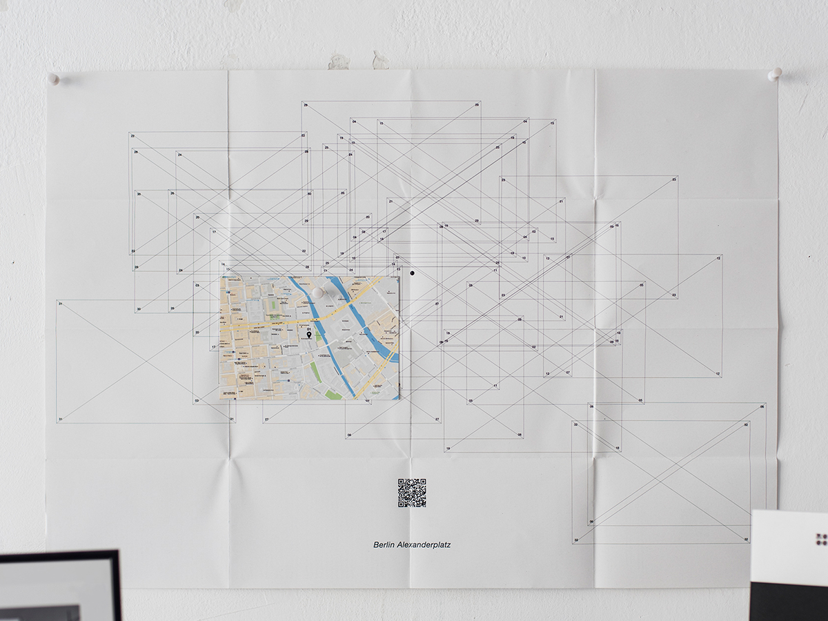
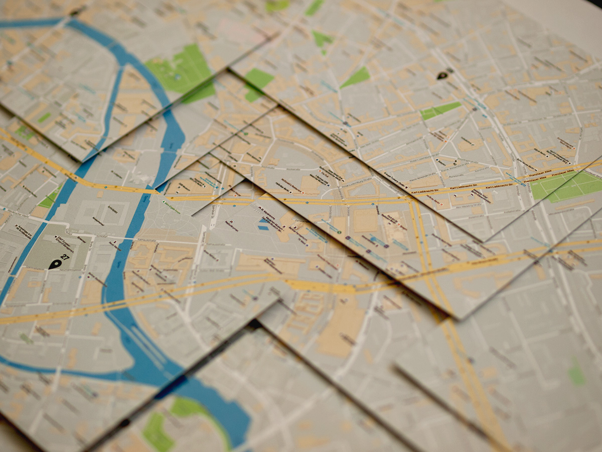
The project consists of a series of landscape pictures with the Fernsehturm (TV tower) in Berlin which are taken by Google Street View images. The piece includes 32 cards and a blank “map”. Each card has a photography from Street View in one side and, in another side, a map from Google Map which indicates the position of the shooting point.
A map around Fernsehturm can be made placing cards on the blank map and it depicts the “virtual travel” idea of this project. Also a Google Map for this project is prepared to be able to see the real and actual Street View images. Those can be the original images of the project but some landscapes are already changed like it can happen in “real travel.”
The project was in the photo exhibition Un Món Paral.lel at Rocaumbert (Granollers, Spain)